Fall is the perfect season for hiking in Idaho, especially with kids—the temperatures are crisp and cool, the fall colors are popping brilliantly in the sunshine and the trails generally aren’t as busy as mid-summer.
Throw on your favorite flannel, grab a camera and get ready to explore five family-friendly fall hikes across Idaho.
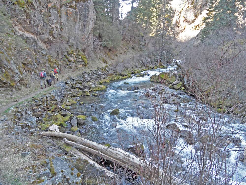
Snowslide Lake Trail | McCall
Trail Tread:
Singletrack hiking trail
Trail Length:
Four miles round-trip
Travel Time:
Two to four hours round-trip, depending on your pace
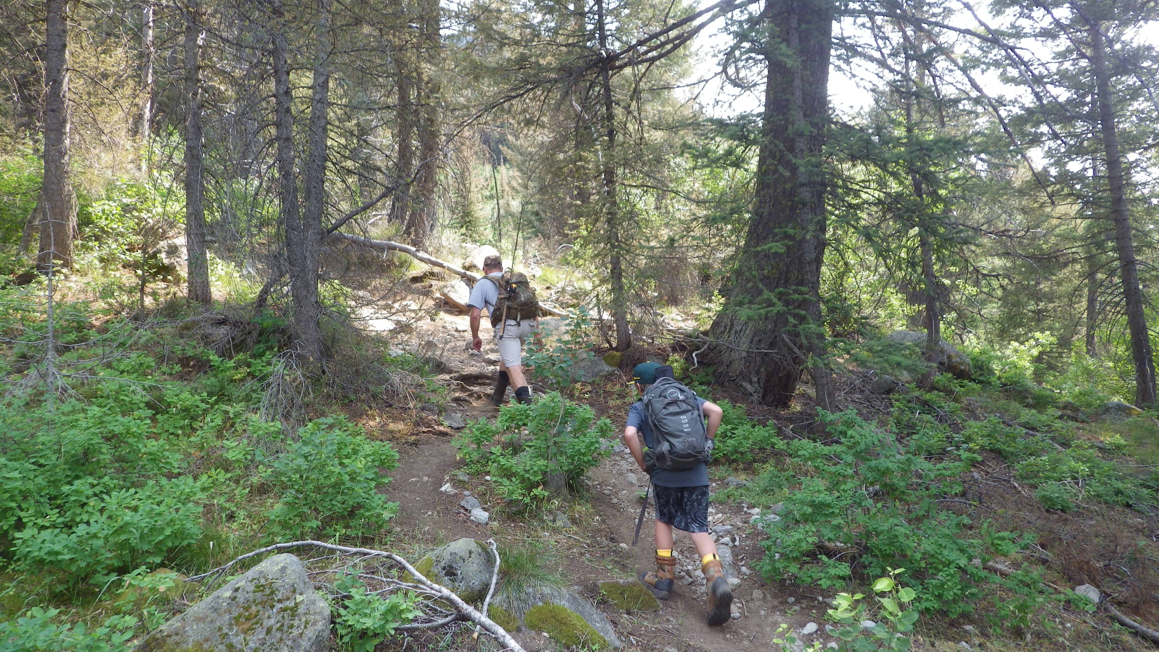
The Snowslide Lake Trail is a steep and rocky two-mile hike through golden aspen groves that finishes at Snowslide Lake., Teeming with small brook trout and lined with trees, Snowslide Lake is a great spot for kids to catch fish and enjoy the views. It took my son, Drew, and I about an hour to reach the lake from the trailhead at a swift pace. Plus, Drew caught a few brookies within the first five minutes.
The Snowslide Lake Trailhead is located on the right side of Lick Creek Road, about 20 miles east of McCall. Lick Creek Road can be accessed on the east side of downtown McCall via Railroad Avenue and Davis Street, following signs to Ponderosa State Park. Turn right at the junction of Davis and Lick Creek Road and follow Lick Creek Road as it climbs into the mountains to the signed trailhead for Snowslide Lake.
Bogus Basin | Boise
Trail Tread:
Singletrack and two-track hiking trails
Trail Length:
2 ½ miles (short route Deer Point–Shindig); 5 ¾ miles (longer route)
Travel Time:
Two hours round-trip (short route); three to four hours (longer route)
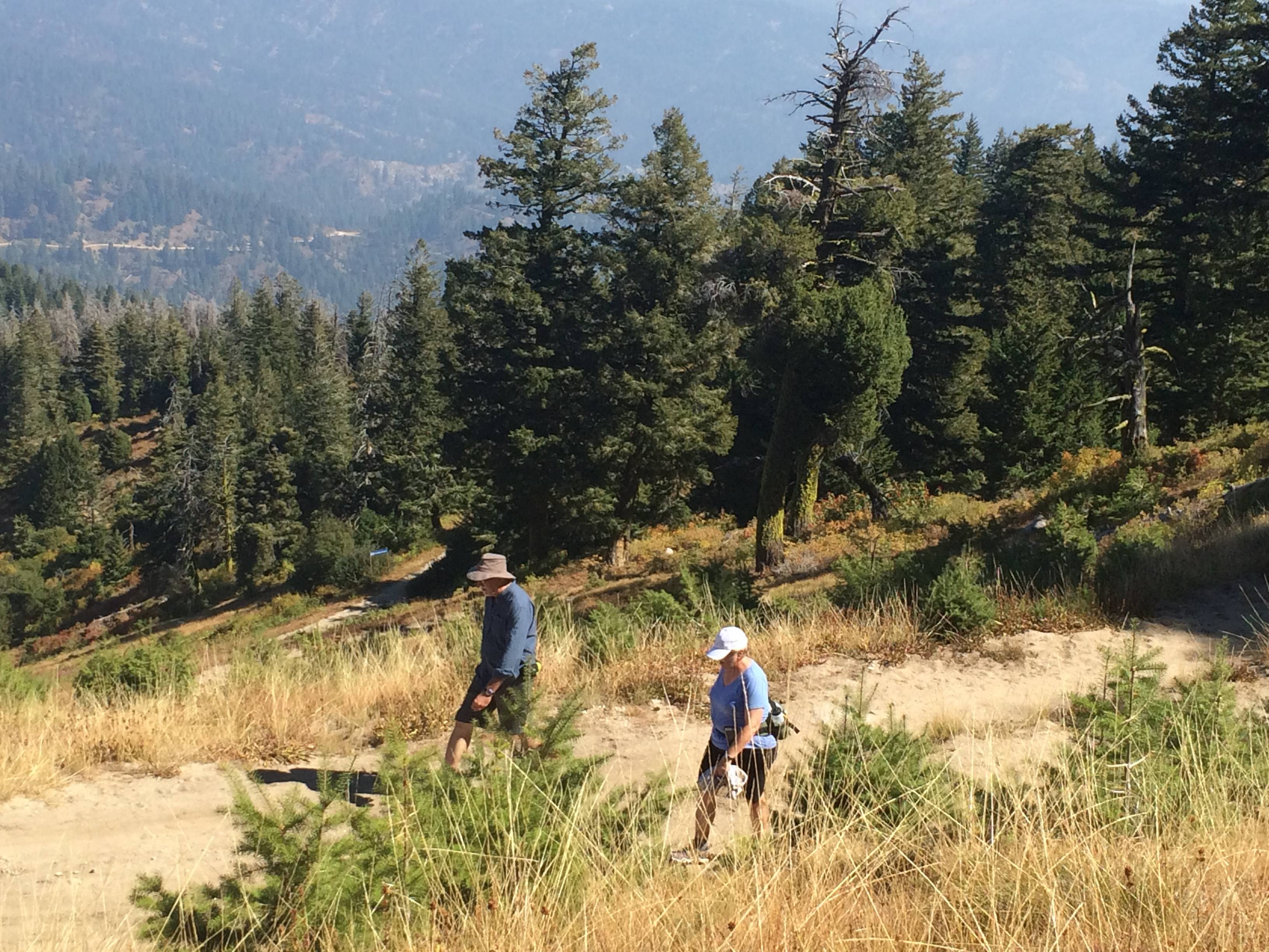
Bogus Basin Mountain Recreation Area has been adding new trails every year to increase the diversity of hiking and biking trails at the resort. I’d recommend starting from the base area, climbing the Deer Point Trail to the top of the front side of the mountain and seeing how the kids feel. If they’re tired, you can return to the base area on Shindig.
If they’re still energetic and want to go higher, take them on Elk Meadows around the backside of the mountain, and then climb to the top of Shafer Butte, a perfect lunch spot at 7,580 feet, with a 360-degree, spectacular view. Look for the Sawtooth Mountains off to the east, and then see if you can identify any peaks in the Boise National Forest.
Adams Gulch Loop | Ketchum/Sun Valley
Trail Tread:
Singletrack hiking trail
Trail Length:
Six miles round-trip
Travel Time:
2 ½ to three hours
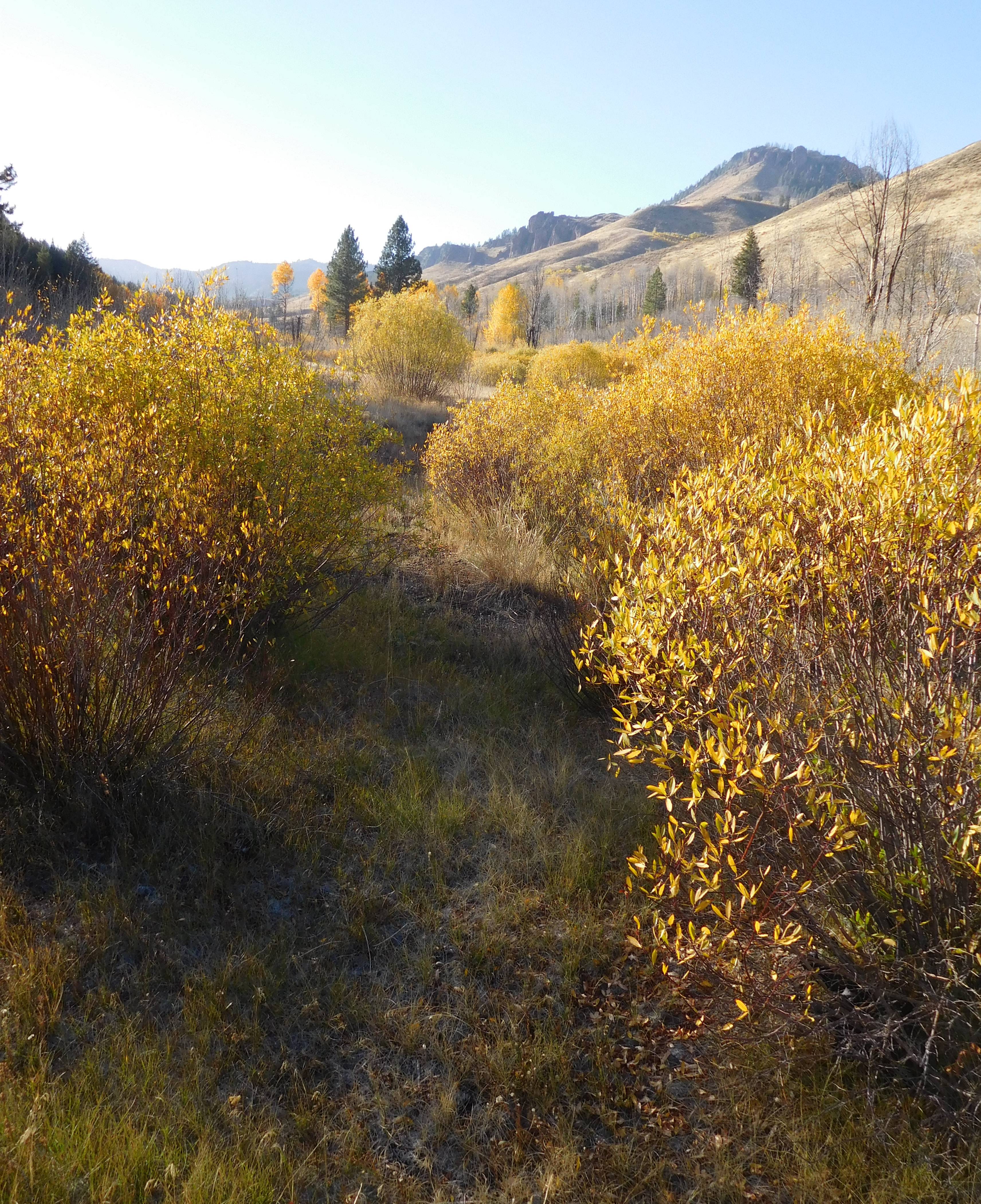
Adams Gulch is a family-friendly fall hike favorite among locals. Not only is it close to town, but it also features beautiful bright yellow aspens shining in the sun and the scent of a pine forest above.
Take the main Adams Gulch Trail to Lane’s Sunnyside Trail and follow that trail about three miles to a junction with the Griffin Butte Connector. Go left and follow that trail to Eve’s, then Shadyside, and return to the trailhead via Shadyside Trail, traveling in the trees. Watch for animal tracks (elk and deer) and listen for songbirds. Be aware that mountain bikers also use the trails frequently in Adams Gulch.
Look up the interactive trail map provided by the Blaine County Recreation District for a trail map of your adventure. The Adams Gulch Trailhead is reached via Adams Gulch Road, on the west side of State Highway 75, north of Ketchum.
Rapid River Trail | Riggins
Trail Tread:
Singletrack hiking trail
Trail Length:
Up to eight miles round-trip (you make the call as far as you want to go)
Travel Time:
Four to six hours
Rapid River Trail starts near the Rapid River Fish Hatchery in Riggins, so it’s possible to double-up on this trip to do the hike and then tour the hatchery afterward. The trail is beautiful as it slowly climbs the steep-faced granite mountains through red, orange and yellow shrubs. It’s about four miles up the trail until it gets markedly steeper to reach higher elevations. This is a good turn-around point unless you want to climb to the top and get the full experience.
Priest Lake Navigation Trail | Priest River

Trail Tread:
Singletrack hiking trail
Trail Length:
Recommend four miles in, four miles out
Travel Time:
Three to five hours
The Priest Lake Navigation Trail is a nifty family-friendly trail that follows the north shoreline of Priest Lake and continues north to Upper Priest Lake along the navigation channel where boats pass through from the lower lake to the upper lake. The trail is dark and shady under the canopy of towering old-growth cedar and hemlock trees. Look at the trees closely and take a whiff of the beautiful smell of the cedarwood. Watch for critters in the forest, animal tracks, owls and songbirds. Once at the Upper Lake, you can walk along the shore as far as you want, then head back.
The trailhead is at Beaver Creek Campground. The trail is eight miles long, one-way.
Preparing for a Successful Hike
- Bring plenty of snacks and water.
- Dress accordingly! Wear layers and always check the weather before heading out.
- Wear sun protection like sunscreen, hats and sunglasses.
- Bring a first-aid kit in case someone takes a tumble.
- If you plan to fish, bring fishing poles and required licenses.
- Bring navigation tools like a map of the area, GPS or compass.
- Always tell someone where you’ll be and when you expect to return.
Steve Stuebner writes about hiking, biking, paddling and winter outdoor outings regularly in his blog, Stueby’s Outdoor Journal.
Updated on November 15, 2023
Published on October 25, 2016