
Pam LeBlanc worked in partnership with Visit Idaho to create this content.
In the Silver Valley of northern Idaho, trails lead over railroad trestles, through tunnels, and among towering trees.
Whether you explore them on foot or from the seat of a bicycle doesn’t matter – either way you’ll see more than the region’s forests and waterways. You’ll learn about the area’s past, from its Native American roots and rich mining history to the wildfires that altered its landscape.
Below are four of our favorite routes to explore in northern Idaho.
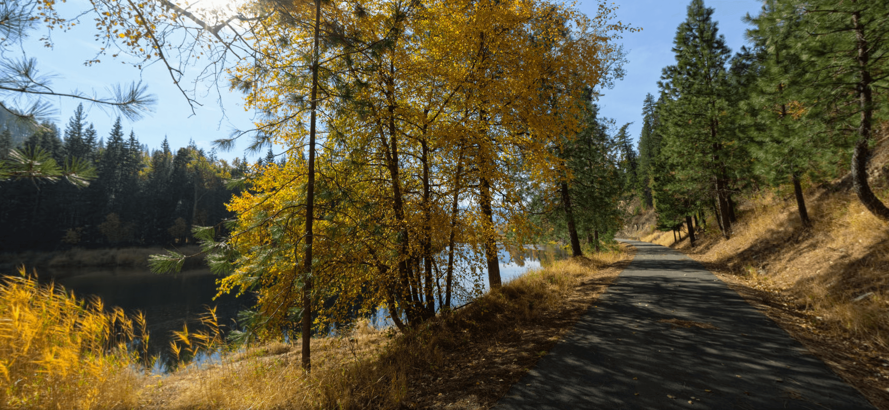
The best time to enjoy them? In the fall, when summer crowds have thinned, temperatures have cooled, and hillsides turn into a mosaic of colors with the changing season.
Cruise the Trail of the Coeur d’Alenes
Since it’s built on the bed of an old railway line, the Trail of the Coeur d’Alenes is pancake flat. That means even beginner cyclists can enjoy a spin on the 73-mile route between Mullan and Plummer, which passes lakes, rivers, marshes and forests.
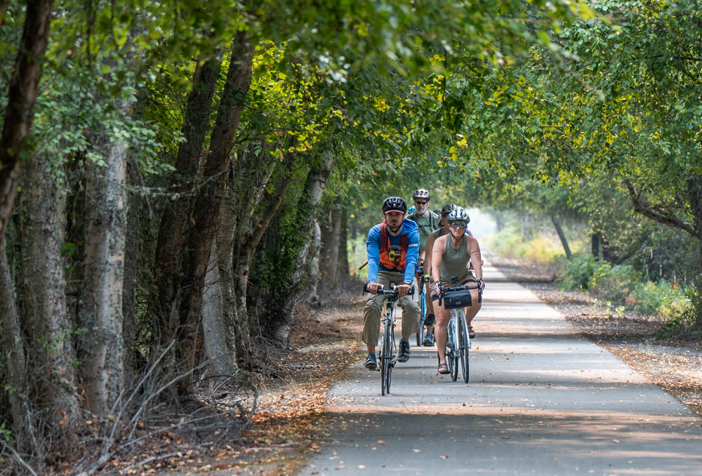
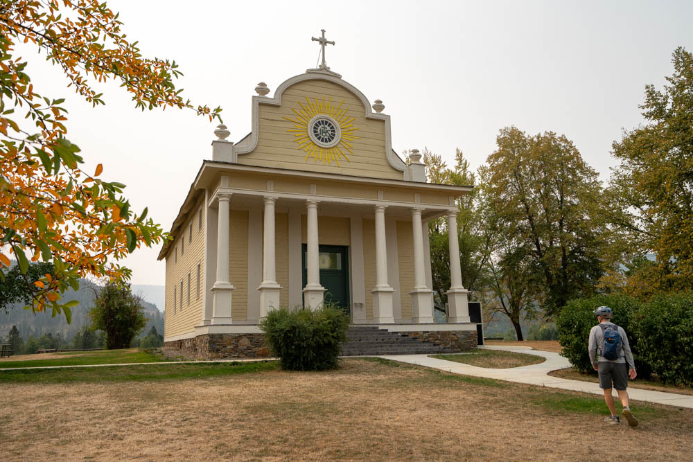
Visitors can access the trail from any of 20 trailheads. To see the highlights, rent a bike at Silver Mountain Resort in Kellogg and pedal about 40 miles to Harrison, where you can grab a cold one at Cycle Haus Bikes and Brews or ice cream at the Harrison Creamery. Along the way, detour off the main path to see The Mission of the Sacred Heart, the oldest standing structure in Idaho, at Coeur d’Alene’s Old Mission State Park.
With the first cold snap in fall, the trees along the route start to change color. Beside swathes of gold and orange-leafed trees, chances are good you’ll see a moose grazing in a marsh along the way. If you’re really lucky, you might spot a mountain lion, like we did. (The sleek cat, with a long tail and graceful stride, trotted across the path just east of Harrison, leaving us open-mouthed.)
Hike the Pulaski Tunnel Trail
History buffs should read Timothy Egan’s book, “The Big Burn: Teddy Roosevelt and the Fire That Saved America,” before heading to Pulaski Tunnel Trail.
In 1910, wildfires burned more than 3 million acres in Idaho, Washington and Montana, killing at least 85 people. The book recounts the story of Ranger “Big Ed” Pulaski, who was working the blaze outside of Wallace with 45 men when wind whipped the fire out of control. Pulaski led his crew into a mine shaft, then ordered the men to lie face first on its muddy floor. As the story goes, Pulaski hung wet blankets over the opening and threatened to shoot anyone who tried to leave. All but five of the men survived, including Pulaski, who suffered permanent damage to his lungs and eyesight.
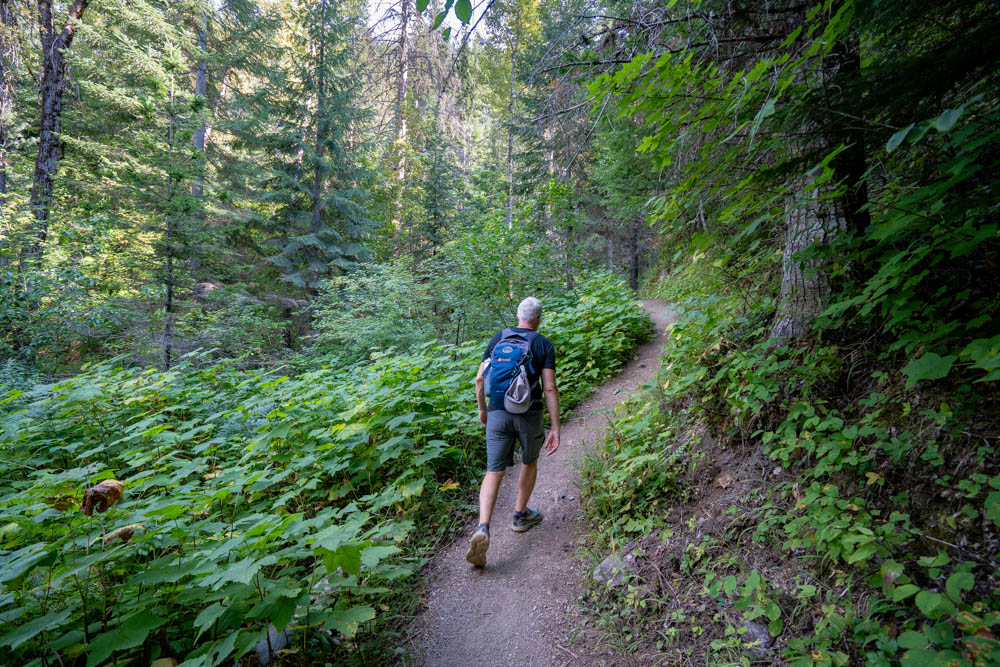
A trail that follows part of Pulaski’s route starts about a mile from downtown Wallace on Forest Service Road 456. It’s a steep, 2-mile walk up Placer Creek up to the tunnel opening, barely visible from an overlook across a gully. Interpretive signs along the way provide context.
Besides the history, it’s a beautiful walk, especially in cooler weather.
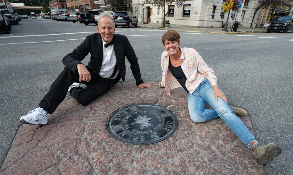
When you’re done hiking, stop in Wallace, where tourists snap pictures of a manhole cover at the intersection of Bank and Sixth streets that proudly proclaims the town is the Center of the Universe.
“You can’t prove it’s not, right?” says Rick Shaffer, who calls himself the prime minister of Wallace. He’s got a point.
Explore Settlers Grove of Ancient Cedars
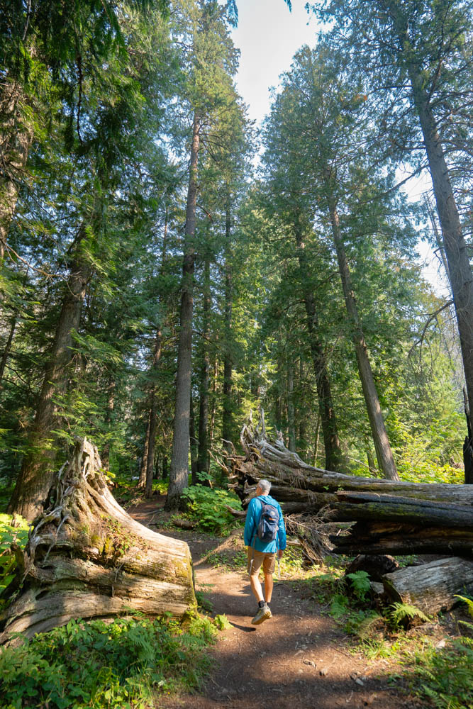
Hiking through Settlers Grove of Ancient Cedars feels like walking among a crowd of very tall old friends.
Spend a morning at their ankles, staring up at rustling branches 150 feet overhead, and you’ll feel insignificant. Some of the trees here sprouted more than 600 years ago, and it would take six or seven men linked arm to arm to encompass their trunks.
Somehow, the grove survived the Big Burn of 1910. Another wildfire in 2015 burned through the area, but most of the biggies still stand.
A 3-mile out-and-back trail winds through the grove and along Eagle Creek. Some of the boards on the wooden bridges over the stream are damaged, so tread carefully.
The grove is located near the small town of Murray, Idaho. You’ll find a restroom at the trailhead and benches along the path.
Ride the Route of the Hiawatha
You don’t have to be a serious cyclist to bike the Route of the Hiawatha, another multi-use trail built along an old railroad passage.
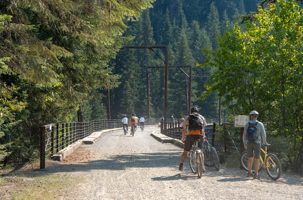
The 15-mile, gradually downhill route goes through 10 tunnels and over seven trestle bridges.
Head to Lookout Pass Ski and Recreation Area first, where you can rent a bike for the day and pick up a trail pass, which includes a shuttle ride back to the start. (Hardy cyclists can ride the route both directions and skip the shuttle.)
The Milwaukee Railroad used to run along this line, but in 1998 the route opened as a biking trail. Today, about 1,200 people a day pedal it, taking in spectacular views of the Bitterroot Range along the way.
The ride starts in East Portal, Montana. After a few hundred yards, the gravel trail enters the 1.66-mile St. Paul Pass Tunnel, where you’ll need to flip on a handlebar-mounted headlamp before you plunge into the darkness. Even in the summer, temperatures inside the tunnel hover at about 47 degrees, and chilly water drips from the ceiling.)
The best part? The steel trestle bridges, which span valleys and serve up wide angle views of the surrounding forest.
Fifty interpretive signs along the way provide information about how the bridges were built, the people who worked in nearby mines, and the impact of fires and avalanches.
It’s open from mid-May through mid-September.
Feature image credited to Visit Idaho.
Pam LeBlanc is a longtime journalist based in Austin, where she covered fitness and recreation for the Austin American-Statesman for 21 years. She’s on the loose today as a freelance writer who specializes in stories about outdoor adventure and travel. Learn more about her at PamLeBlancAdventures.com.
Published on October 27, 2026