Elisabeth Brentano worked in partnership with Visit Idaho to create this Travel Tip.
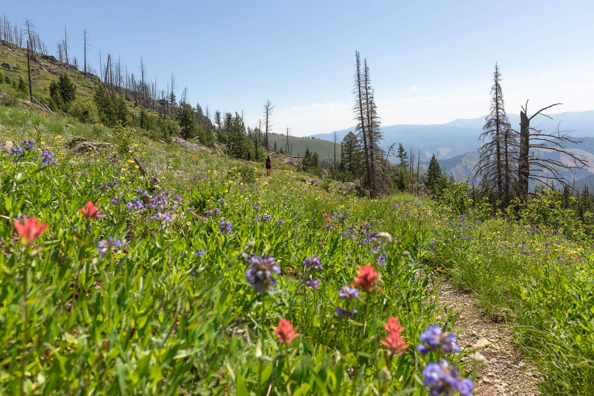
The Hells Canyon Wilderness spans 218,000 acres of stunning, rugged terrain on both sides of the Snake River, which divides Idaho and Oregon. On the Idaho side, the Seven Devils Mountains top out at the 9,393-foot summit of He Devil Mountain, and the 7,900-foot drop to the Snake River makes Hells Canyon the deepest river gorge in North America. The landscape is just as rocky as it is dense with vegetation, and from craggy mountains to verdant meadows, the scenery varies tremendously.
Explore this amazing area by starting with these two days hikes in Idaho’s Seven Devils.

Getting Started in the Seven Devils
The Windy Saddle Trailhead offers access to nearly a dozen alpine lakes via Seven Devils Trail #124 and the South Boise Trail #101A, which intersect to form the Seven Devils Loop Trail. While it is a popular route for backpackers, it also offers a few fantastic options for day hikers.
Once the pavement ends, the road to the trailhead is a mix of gravel and dirt, with the occasional pullout. A 4×4 vehicle is not required, but there are some potholes near the top, so go slow. Every summer, trail crews clear downed trees in the areas closest to Windy Saddle, making the two routes below the most accessible to hikers and equestrians. Though rattlesnakes are seldom seen on the loop trail, they are prevalent elsewhere in Hells Canyon, usually on open ridges and towards the river. Black bears are present in the Seven Devils, so hikers are advised to carry bear spray, make plenty of noise, and pack out all food waste. For more tips on recreating responsibly, consider familiarizing yourself with Leave No Trace’s Seven Principles.
Hike 1: Lower Cannon Lake

If you’ve never explored the Seven Devils Mountains, Lower Cannon Lake is the perfect introduction to the region. The out-and-back trek is eight miles round-trip with 1,550 feet of elevation gain, and it starts from the Windy Saddle Trailhead. Early to mid-July is generally the peak season for wildflowers, so if you time it right, you may spend more time marveling at blooms along the trail than you will exploring the alpine lake. While several goat trails provide access to the shore for swimming and fishing, there are a handful of downed trees and thick bushes that make finding entry points tricky.
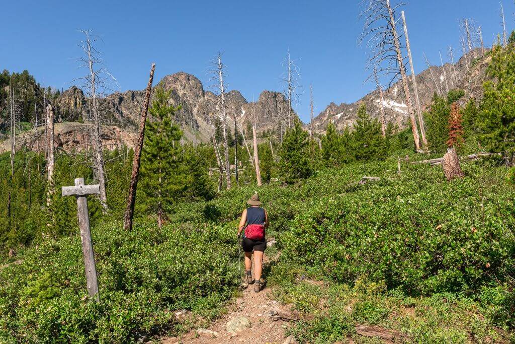
The Windy Saddle Trailhead sits at approximately 7,600 feet, and the South Boise Trail #101A steadily drops to 6,650 feet over the first mile and a half. The next mile and a half of the trail is mostly flat, and just after the three-mile mark, you’ll see the “Cannon Lake” sign, pictured above. After turning on Cannon Lakes Trail #126, you’ll gain 500 feet of elevation in just under a mile. As you may imagine, the most challenging stretch of trail is the return to the parking lot, so be sure to bring plenty of water, pace yourself and take breaks when it’s hot. Water sources can be found at Bridge Creek (one mile from Windy Saddle) and Cannon Creek (a quarter-mile from Lower Cannon Lake).
For those interested in a spicier route, Upper Cannon Lake is just a mile past Lower Cannon Lake, but the trek requires a bit of bushwhacking and has over 1,000 feet of gain. From Upper Cannon Lake, it is also possible to scramble to the Ogre and Goblin Peaks, but these are technical routes that require climbing experience, and they should not be attempted by beginners.
Hike 2: Basin Lake
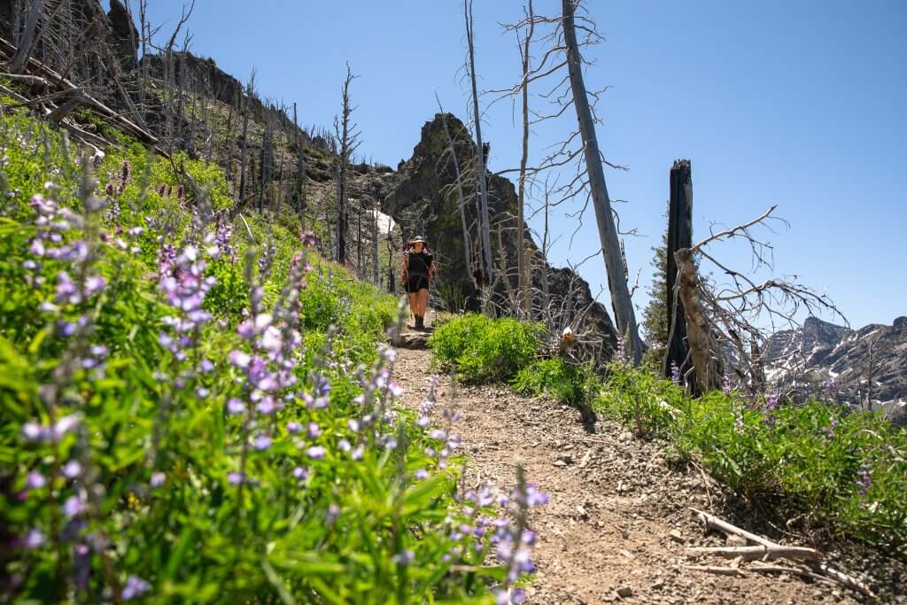
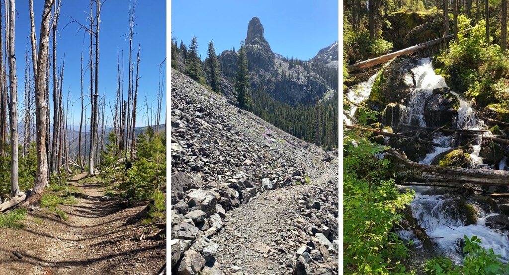
For those seeking a more ambitious day hike with constant up and down, Basin Lake offers both a workout and dramatic mountain scenery. The 11-mile route has approximately 3,200 total feet of elevation gain, and it also begins at the Windy Saddle Trailhead. Due to several major wildfires over the last two decades, the area contains a significant amount of dead trees, so shade is sparse in many sections. However, the views of the Seven Devils are jaw-dropping, and the abundance of wildflowers in the summer makes this an especially picturesque trek.

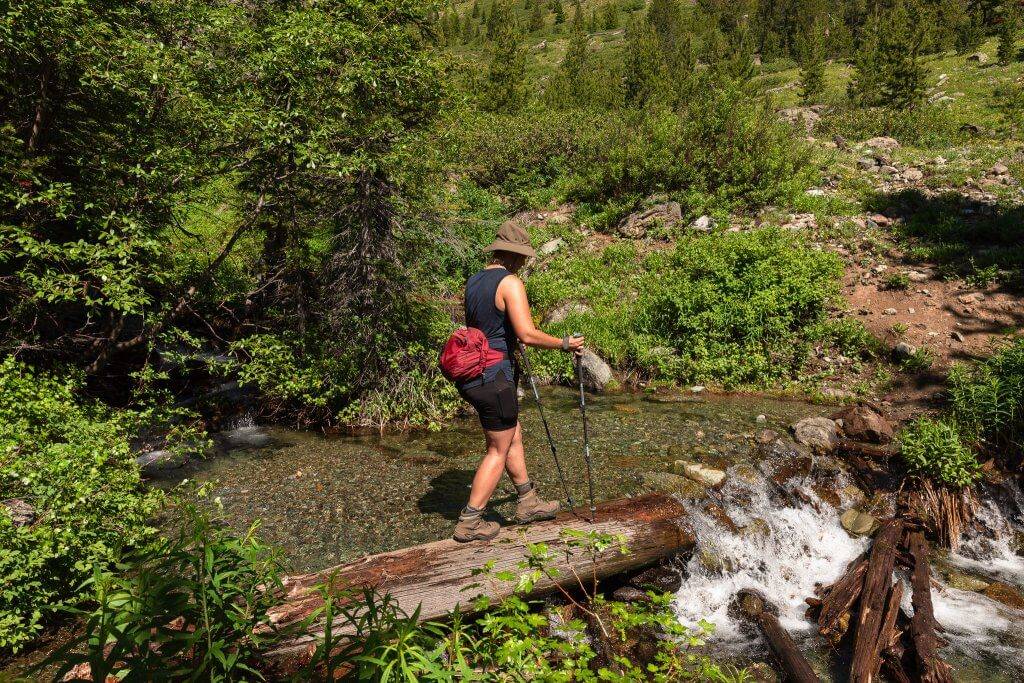
From the Windy Saddle Trailhead, follow the signs for Sheep Lake on the Seven Devils Trail #124. The trail descends 400 feet over the first half-mile, and after gaining 800 feet over the next mile and a half, the trail drops 1,300 feet between the second and third miles. Stay left on Seven Devils Trail #124 at the junction around the four-and-a-half-mile mark, and at the next junction, just before the five-mile mark, turn left on Sheep Lake Trail #123. This mile-long section has about 600 feet of gain, and the final half-mile to Basin Lake is mostly flat. There are several creek crossings that require careful foot placement on slippery logs, and the terrain is a mix of packed dirt, rock and mud, depending on how early in the season you visit. The best water source can be found around the three-mile mark at the West Fork of Sheep Creek, which offers a cascading waterfall next to the trail.
Those wishing to go further can venture onward to Shelf Lake (approximately 12 miles round-trip with 3,350 total feet of gain), Gem Lake (approximately 12.5 miles round-trip with 3,600 total feet of gain) or Sheep Lake (approximately 15 miles round-trip with 4,800 total feet of gain). However, these trails are not well maintained, so in addition to downed trees, there may be a significant amount of thick brush to deal with.
It should also be noted that the route to Sheep Lake via Seven Devils Trail #124 is not connected to the off-trail, unofficial “shortcut” from the Seven Devils Campground. The Sheep Lake shortcut, which appears on several route-sharing apps and shaves off a significant amount of mileage, is a hazardous scramble, and the majority of rescues in the Seven Devils occur along this ridge.
For more information on trail conditions and closures in the Seven Devils Mountains, please contact the US Forest Service Office in Riggins at 208-628-3916, or check the US Forest Service website for the Wallowa-Whitman National Forest.
Feature image credited to Elisabeth Brentano.
Elisabeth Brentano is a writer and photographer based in California but her passion for nature takes her all over the world to produce travel and environmental content. You can follow her at @elisabethontheroad on Instagram.
Published on August 16, 2022

