Melynda Harrison worked in partnership with Visit Idaho to create this Travel Tip.
My family loves a good field trip. We are always looking for places to explore with both educational and recreational opportunities. Lucky for us, Idaho is rich in both.
On one trip, my son and I loosely followed the Nez Perce National Historic Trail and the Lewis and Clark National Historic Trail through Idaho. We stopped at roadside markers and signs, as well as interpretive centers.
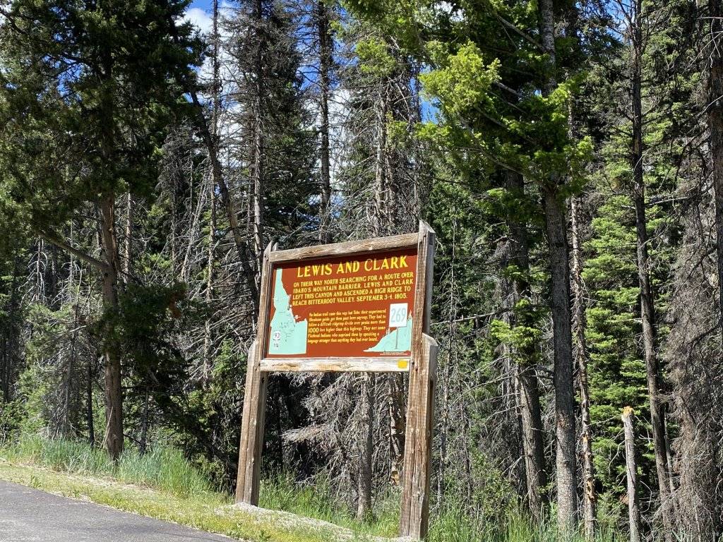
There is too much history to relay here, but by visiting the sites in this article you can get a better understanding of the Nez Perce culture, the Nez Perce Flight of 1877, Lewis and Clark’s Corps of Discovery Expedition in 1805-1806, and how they are all intertwined.
When Lewis and Clark passed through Idaho on their expedition to find a route to the Pacific Ocean, they passed through Nez Perce lands. Without the help of the Nez Perce people, the Corps of Discovery might not have survived.
We used two National Historic Trails to plan our history road trip: The Nez Perce National Historic Trail and the Lewis and Clark National Historic Trail. The sites along these trails and their offshoots are an alphabet soup of management agencies (USDA, BLM, NPS, USFS, etc.) but they are all open to the public. Check out this list of historical stops to explore on your own.
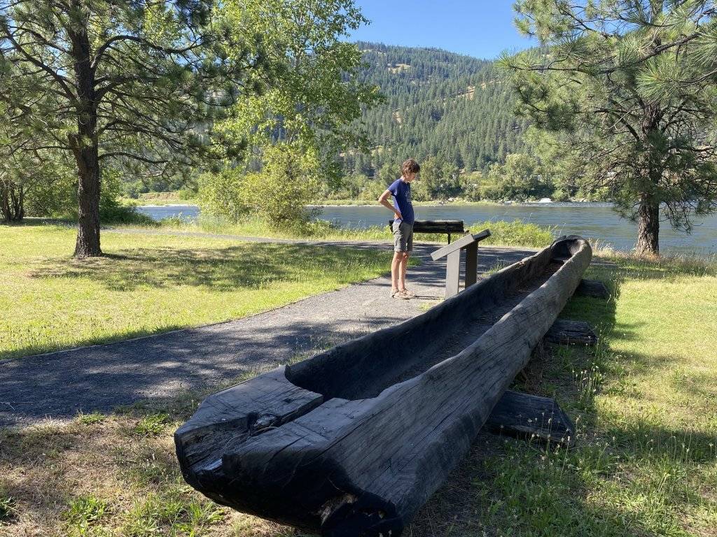
Canoe Camp
Canoe Camp sits along the edge of the Clearwater River. It’s where the Nez Perce helped the Corps of Discovery build the canoes they paddled to the Pacific Ocean in 1805. It’s a nice riverside park with a few interpretive signs and a replica canoe.
Canoe Camp is 4 miles west of Orofino on U.S. Highway 12.
If you have time, keep driving west on U.S. Highway 12 for 34 miles to the Nez Perce National Historical Park Visitor Center.
Heart of the Monster
According to a Nez Perce creation story, a monster inhaled all the creatures on earth except Coyote. Coyote tied five knives to his belt and tricked the monster into eating him. He cut his way out and spread the parts of the monster over the land, from which sprung many tribes of people. The monster’s heart is still at the site, represented by a large earthen mound.

There are short walking trails and interpretive signs at Heart of the Monster, along with a bathroom and picnic tables. We especially liked listening to the “Coyote and Monster” legend at the interpretive shelter in both Nez Perce and English.
Find Heart of the Monster on U.S. Highway 12 at mile marker 68 south of Kamiah.
White Bird Battlefield
White Bird Battlefield is where the first battle of the Nez Perce Flight of 1877 took place. The Nez Perce were sheltering in one of their winter villages, which they call Lahmotta, when a civilian volunteer of the U.S. Army shot at a Nez Perce peace party.
A battle quickly ensued and the U.S. cavalry took heavy losses. The Nez Perce were forced to flee, beginning their long journey in search of safety.
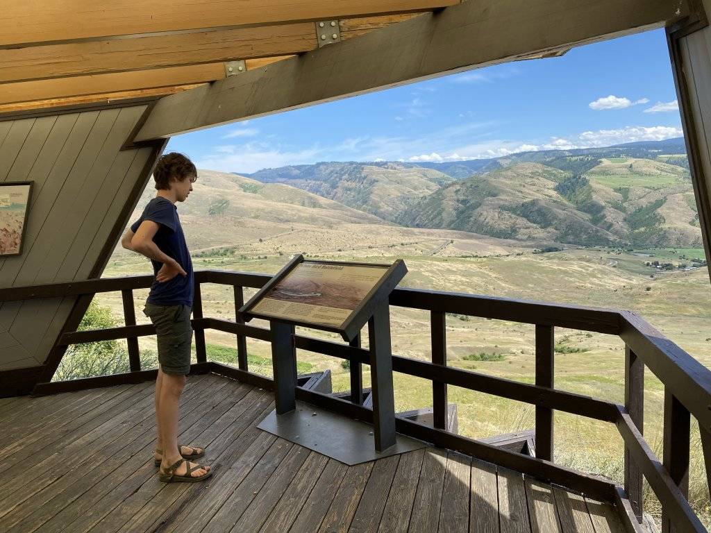
We stopped at the White Bird Overlook to attempt an understanding of what happened there. There is a large shelter, Nez Perce Trail map/brochures and interpretive signs. As the name implies, we looked out over the whole battlefield from this vantage point and tried to imagine the events of 1877.
The battlefield is about 15 miles south of Grangeville, Idaho between U.S. Highway 95 and the old White Bird Grade, approximately 0.5 miles from the town of White Bird, Idaho. The White Bird Overlook is 12.7 miles south of Grangeville on U.S. Highway 95. The overlook shelter is on the east side of the road.
Weippe Prairie
This large camas meadow is where the Nez Perce traditionally gathered to dig camas bulbs, worship and socialize. Today, Nez Perce still gather here for the same reasons.
Weippe Prairie is also where Lewis and Clark first met the Nez Perce.
There are a couple interpretive signs at the prairie describing the meeting between the Nez Perce and the Corps of Discovery, as well as the nearby Weippe Discovery Center.
Between May and June, huge swaths of blue camas flowers are in bloom—I think this is the best time to visit.
About three miles southeast of the town of Weippe on Highway 11 South is the approximate location where Clark entered the prairie in 1805. A pullout with an interpretive sign marks this location.
Tower Rock Recreation Site
William Clark and a reconnaissance party camped at Tower Rock on August 21, 1805. After deciding that the Salmon River was not navigable, they spent another night at the Tower Rock Camp and prepared to return to the main party.
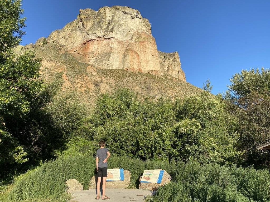
We pulled into Tower Rock, now a BLM campground, to read the interpretive signs and take a look at what Clark described in his journal as “clifts.” This is a great place to dip your toes in the Salmon River and imagine members of the Corps of Discovery fishing and planning their route.
Tower Rock is about ten miles north of Salmon on U.S. Highway 93.
Sacajawea Interpretive, Cultural & Education Center
The Sacajawea Center in Salmon aims to foster knowledge and appreciation of the Agai’dika Shoshone-Bannock Tribes (to which Sacajawea belonged), the Lewis and Clark Expedition, Western frontier life and the natural environment.
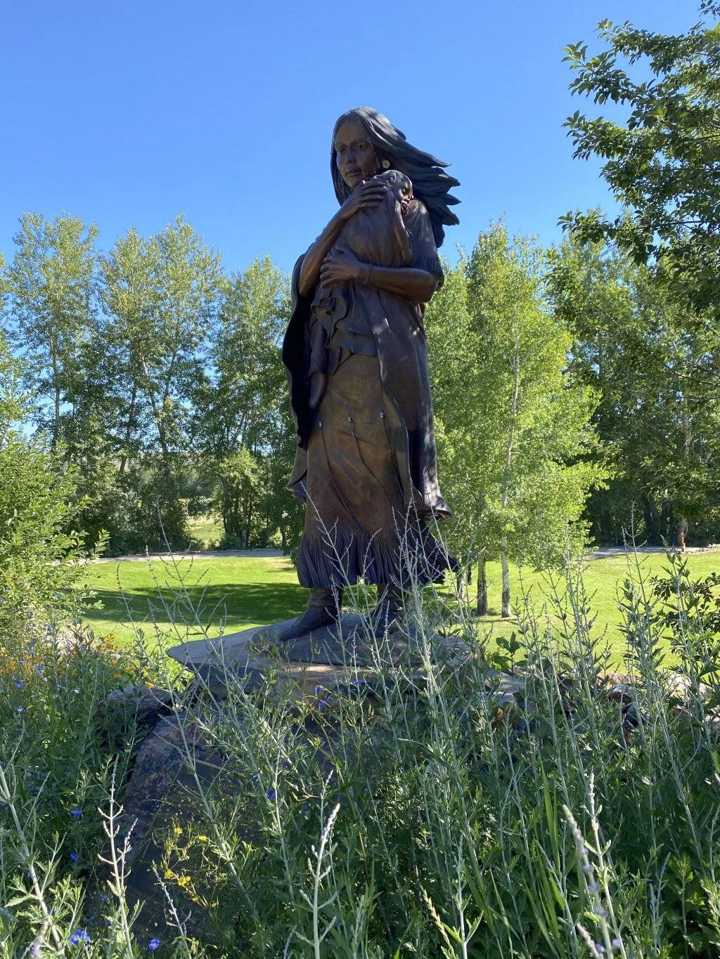
There is a beautiful bronze statue of Sacajawea holding baby Pomp—a highlight of this 71-acre park. We started at the interpretive center to learn about Sacajawea, her role in the expedition, and the Agaidika Shoshone-Bannock perspective. Then we walked the short, scenic trails around the park, reading interpretive signs and observing a fishing weir, sweat lodge and ancestral village.
The interpretive center is open Memorial Day through Labor Day and the park and trails are open year-round.
The Sacajawea Center is south of Salmon at 2700 Main Street.
Feature image credited to Melynda Harrison.
Melynda Harrison writes about travel and outdoor family adventure at TravelingMel.com, YellowstoneTrips.com, and for many local and regional publications. When she’s not behind a laptop, you can find her cross-country skiing, hiking, or floating a river.
Updated on October 21, 2022
Published on March 23, 2021
