White Bird Hill Summit
Natural Attractions in White Bird
Activities
Click icon for similar adventures
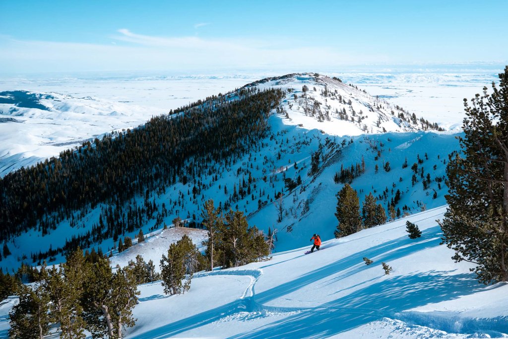
White Bird Hill Summit is a mountain pass in north central Idaho on U.S. Highway 95. Located in Idaho County, it is midway between White Bird and Grangeville. The summit elevation of the highway is 4,245 feet (1,294 m) above sea level and passes through a substantial cut. The summit marks the divide between the Salmon River and the Camas Prairie. The Battle of White Bird Canyon during the Nez Perce War occurred in the valley south of the summit in 1877. Chief White Bird was a respected leader of the Nez Perce tribe.
The original road was completed in 1921 and first paved in 1938, it rose slightly higher to 4,429 feet (1,350 m), due to the absence of a summit cut. Located to the east, the old road was twice the length and had a multitude of switchbacks ascending a treeless slope. On the present highway, the descent north of the summit is less dramatic with few curves as the grade drops less than 900 feet (270 m) into the forest and onto the Camas Prairie towards Grangeville where the elevation is 3,400 feet (1,040 m).
Resources
White Bird Chamber of Commerce,
Grangeville Chamber of Commerce
