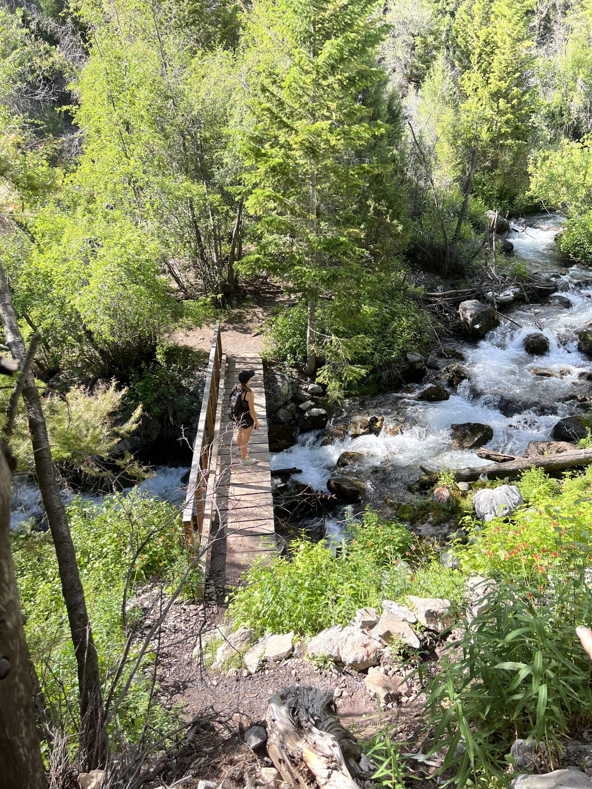
Tucked away in central Idaho’s rugged and rocky Lost River Range is a can’t-miss waterfall trek. Lower Cedar Creek Trail, near Mackay, serves up a three-mile, out-and-back hike with smack-you-in-the-face views, a dazzling mountain stream and a waterfall overlook where you can while away the day.
Getting to the Waterfall Trailhead
Start your adventure in the heart of Mackay along U.S. Highway 93. Take Seefried Lane north and then east of town until it connects with Lower Cedar Creek Road. Follow the Lower Cedar Creek Trailhead signs.
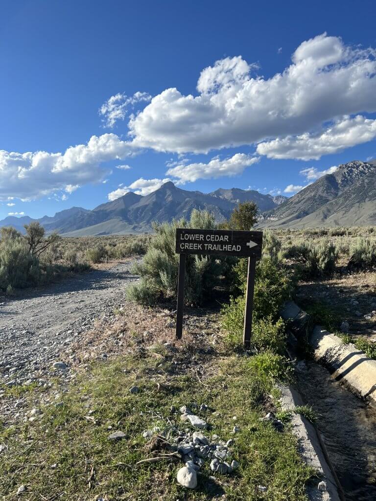
You’ll cross onto a maintained dirt road and then drive through a gulley before continuing along the route. Please note: If water is in your path, it may not be safe to cross at this point and you do so at your own risk. A high-clearance vehicle is not required for this drive, but there are ruts, loose rock and washout areas on the way to the trailhead.

Drive about four miles on Lower Cedar Creek Road to reach the small Lower Cedar Creek Trail, with its small parking area and single picnic table for visitors. There are no restrooms or trash facilities at this site. Please travel with care and pack out what you pack in. Additionally, cell service can be hit or miss, so plan ahead by bringing plenty of water and snacks and a map.
The Trail to Lower Ceder Creek Falls
Once at the trailhead, you’ll cross a small wooden bridge over a stream and then take the inclined trail to the left to begin the hike.
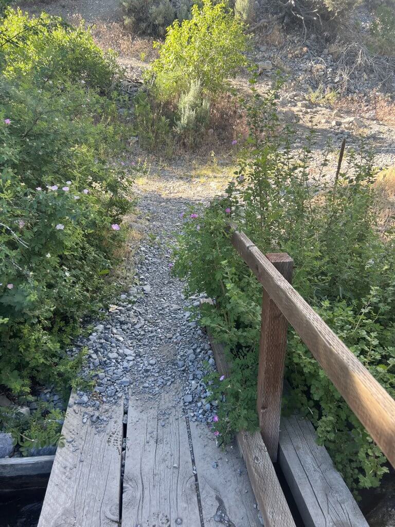
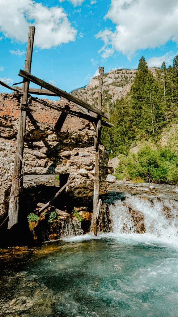
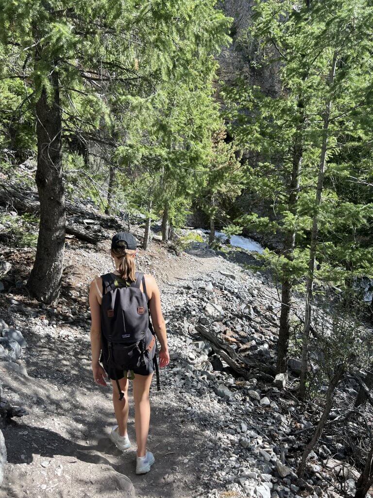
The terrain varies, but overall, you’ll find a singletrack dirt trail covered with loose rocks of various sizes. The path winds along the side of a canyon wall with small inclines and declines throughout. Along the way, you’ll find shady spots to rest, wildflowers that last well into the summer months and abundant creek-dipping opportunities. Hikers can also stop at the remnants of the Mackay Light and Power Company hydroelectric plant that powered the town for nearly three decades.
A little over a mile in, you’ll arrive at a small wooden bridge that crosses Lower Cedar Creek. The scenery here is picturesque, and you could watch the adjacent waterfall from the bridge for countless hours. When you’ve had your fill, take the same trail back to the trailhead, or—for another viewpoint—cross the bridge and continue up the mountain to access the origin point of the large waterfall that feeds Lower Cedar Creek.

The trail to this “hole-in-the-wall” waterfall is steeper than the trail leading to the Lower Cedar Creek bridge. Watch your footing along the portion of the trail right after the bridge as it may be slippery due to wet moss. Here, you’ll start to feel the cool mist emanating from the waterfall ahead. Hike the well-maintained path about a half-mile to reach the final waterfall. In some locations, you’ll encounter rock steps that make climbing to the top easier.


Once you arrive at the top, have a seat on the giant wooden bench and enjoy the sights and sounds of this magnificent waterfall shooting straight out of the canyon wall. When you’re ready to head back, use the same trail to return to the trailhead.
After your trek, make sure to stop by Scoops Corner Café in Mackay for a much-deserved milkshake or a few scoops of delicious ice cream. You can also visit the Lost River Museum or try a self-guided ATV tour of Mackay Mine Hill.
Published on July 11, 2023

