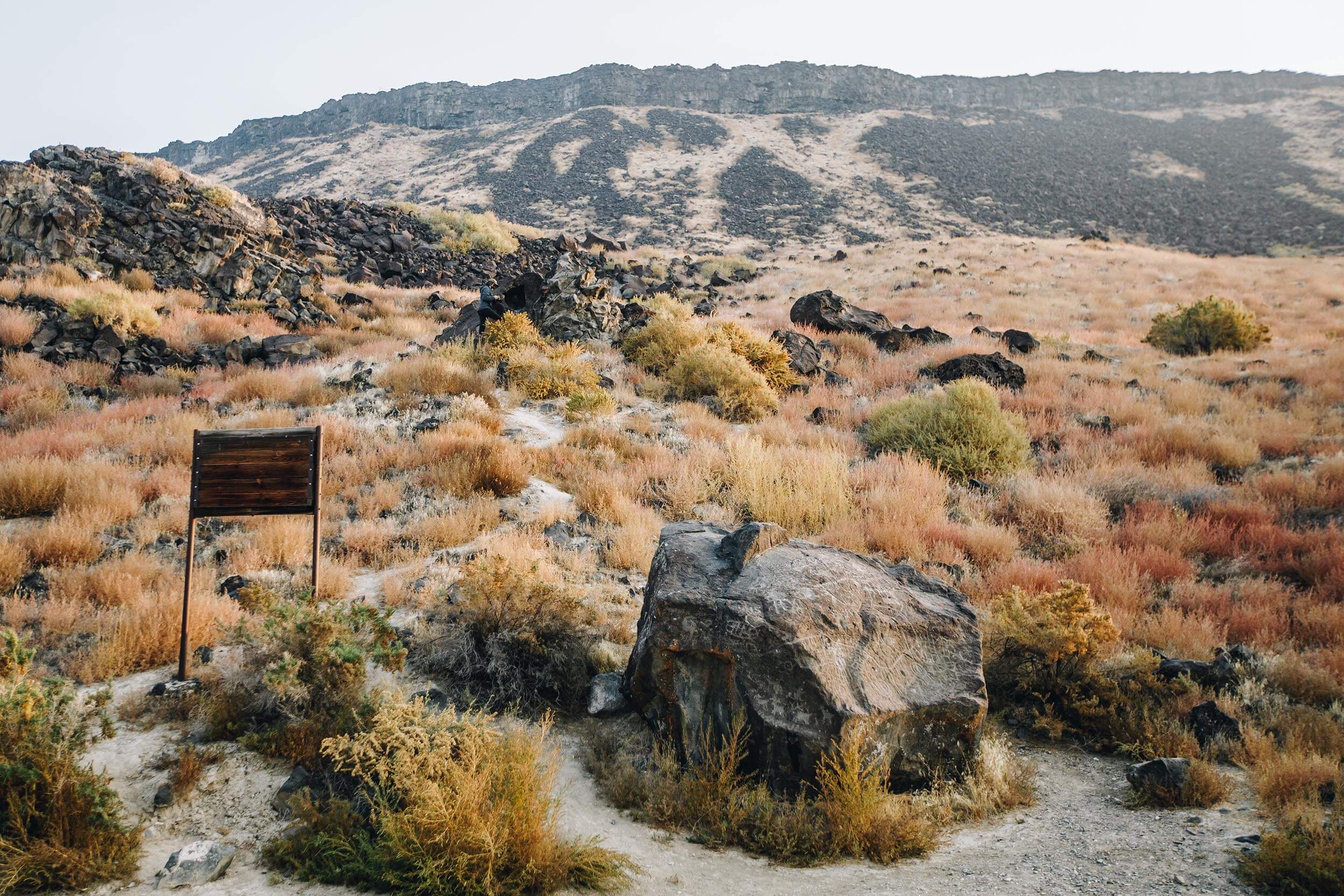
Map Rock
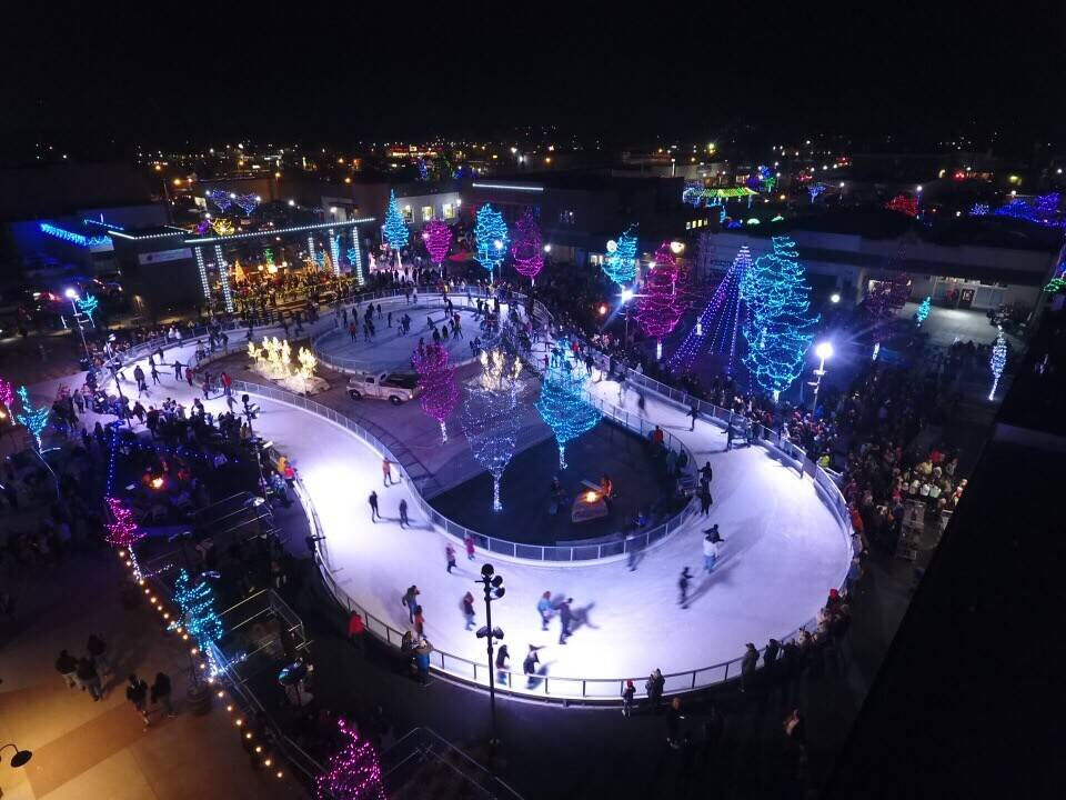
Nampa, Idaho
Located near Celebration Park, Idaho’s only archaeological park, Map Rock showcases another…

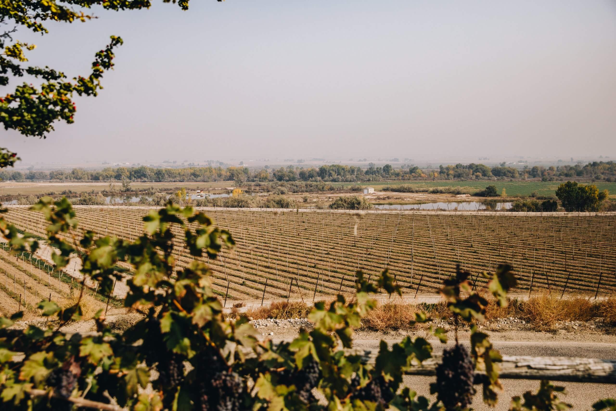
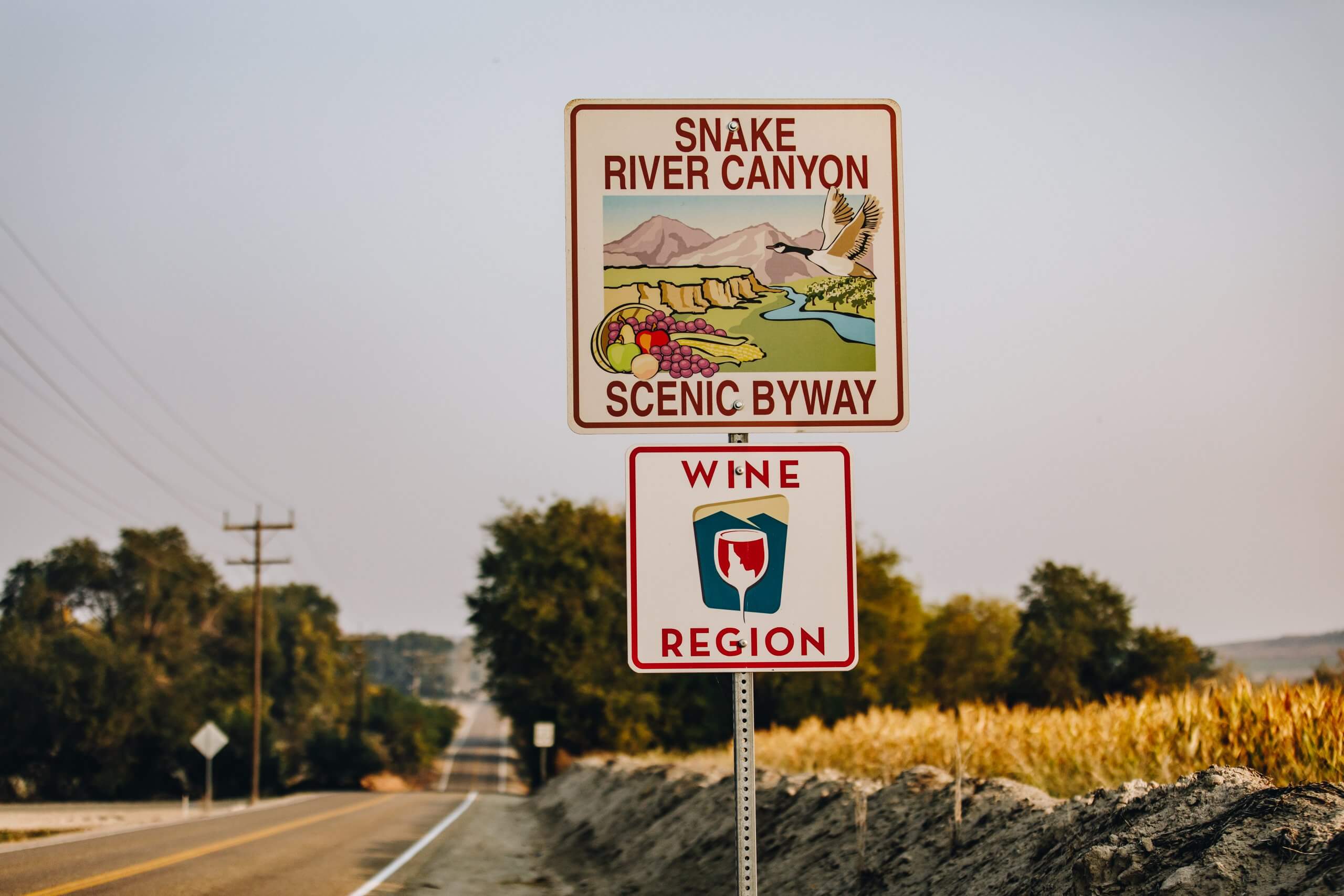


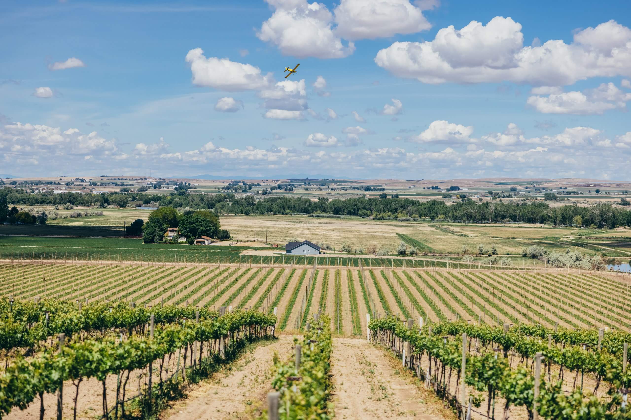

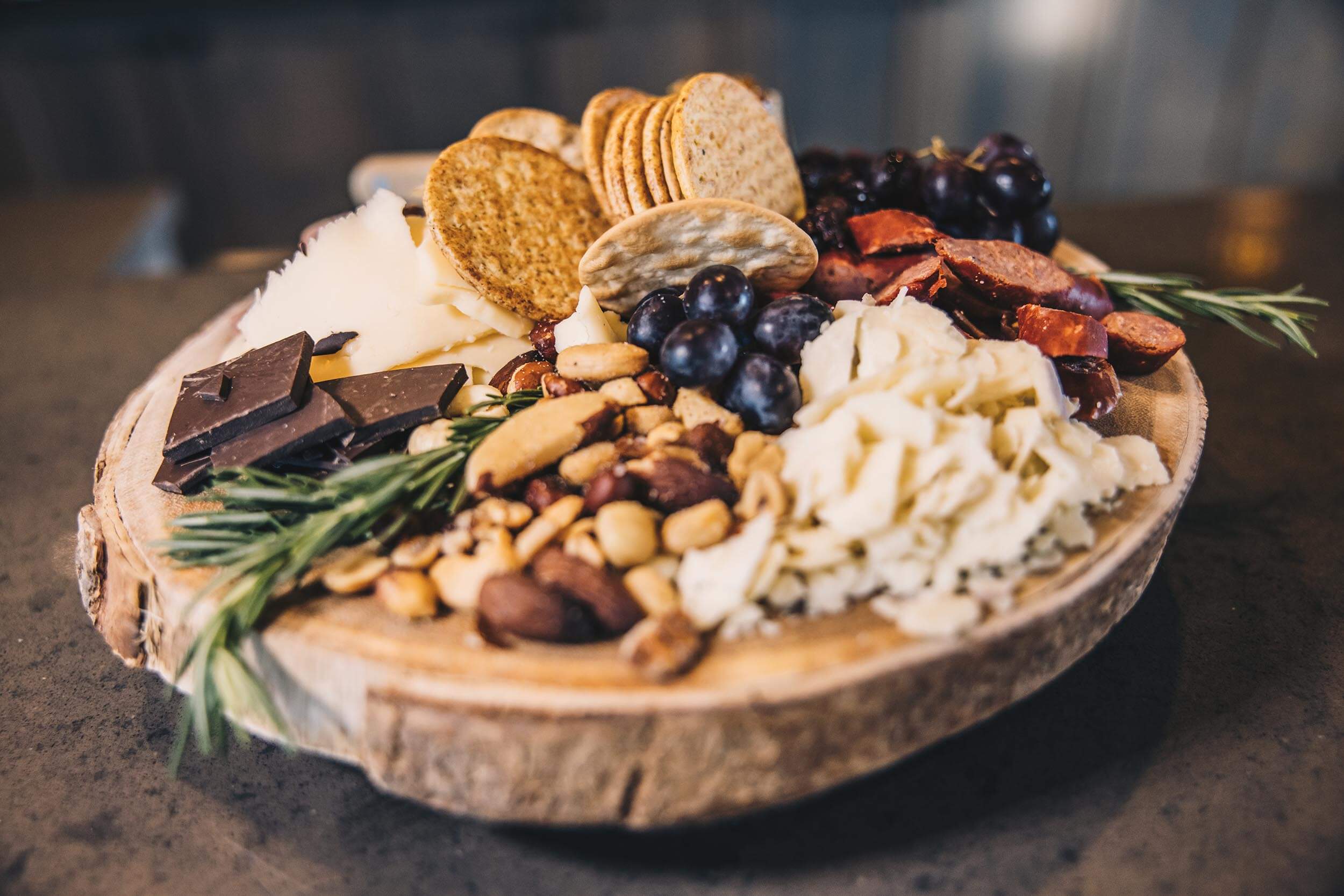

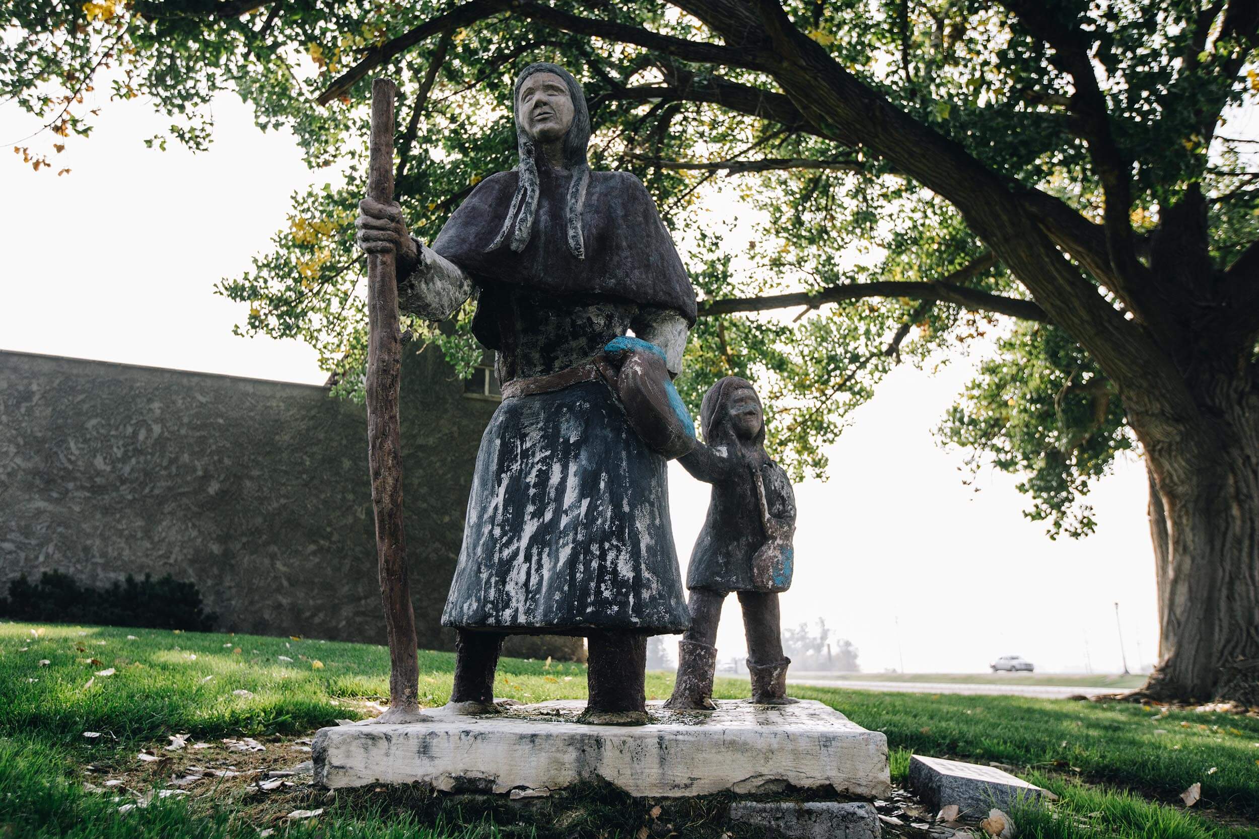


This 70-mile route meanders through some of southwestern Idaho’s rich agricultural lands, showcasing orchards, vineyards and a variety of rural experiences. Sample Idaho’s award-winning wineries as you sip your way through the Sunnyslope Wine Trail within this unique wine-growing region or explore historical sites, like Map Rock, while enjoying the scenic vistas found on this drive.
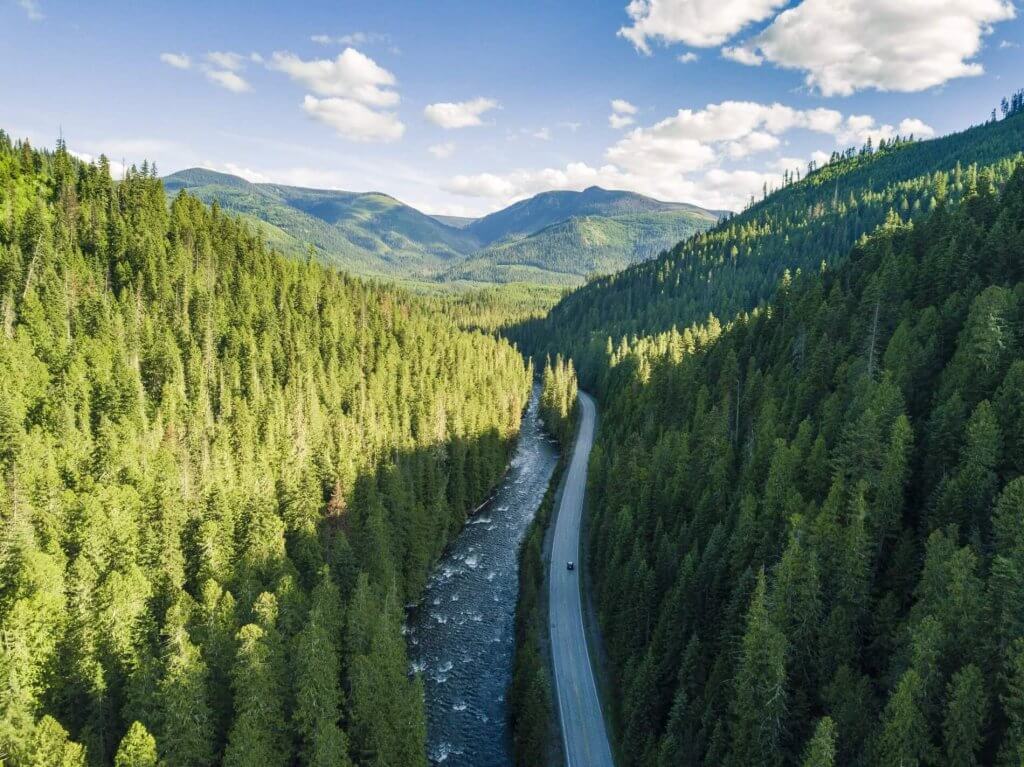
A variety of scenic, natural, historic, recreational, archeological and cultural experiences can be found on Idaho’s 31 scenic byways. View the video to get a taste of the adventures that await you, and start planning your next road trip.


Turn-by-Turn Directions: South to north, the byway route begins on State Highway 45 at Walters Ferry, to Map Rock Road, to Chicken Dinner Road, to Lowell Road, to Plum Road, to Homedale Road, to Allendale Road, to Ustick Road, to Fargo Road, to Dixie Road, to Wamstad Road, to Apple Valley Road, to the intersection with U.S. 20/26, to the Nyssa, Oregon bridge, back along U.S. 20/26, to Highway 95-N, to Echo Lane, to Elmore Road, to Highway 30-N, rejoin Highway 95-N, to Pennsylvania Avenue, to 3rd Street, to Highway 95-N, to NW 16th Street, to Allen Avenue, to Washoe Road, to 6th Avenue S, to S 18th Street, to 2nd Avenue S, to S 7th Street becoming Highway 52, ending at Centennial Park on the Snake River.
Road Conditions: Canyon overlooks may not be accessible during winter.
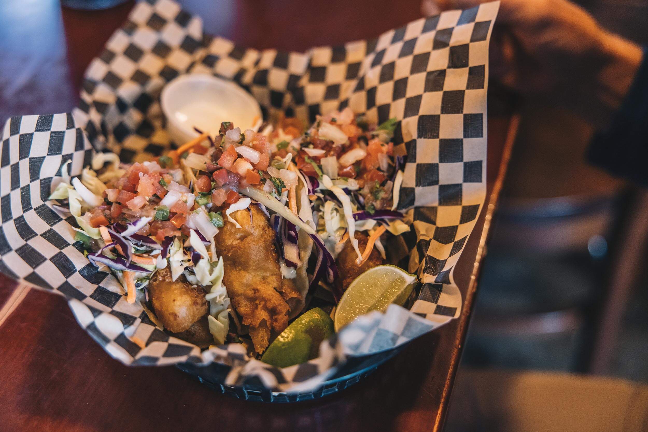
Full services in: Nampa and Caldwell
Partial Services in: Melba, Marsing, Homedale, Wilder, Greenleaf, Notus and Parma
Full services: When gas, food and lodging are available
Partial services: When gas and a few other facilities are available
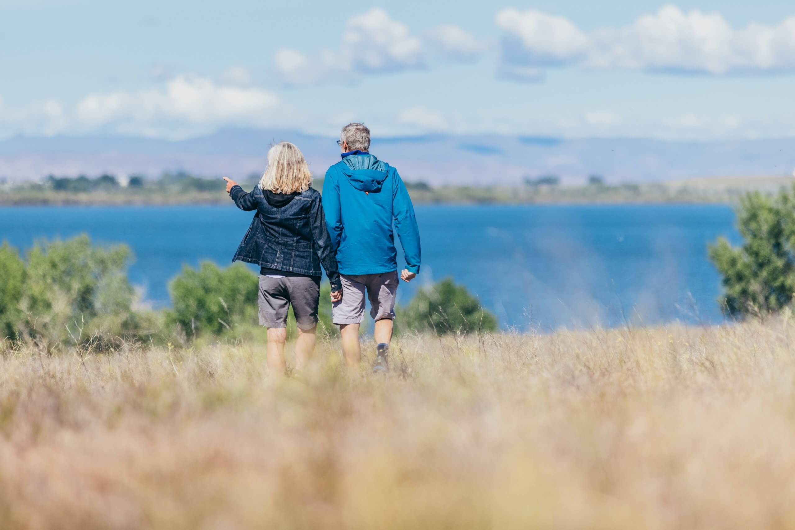
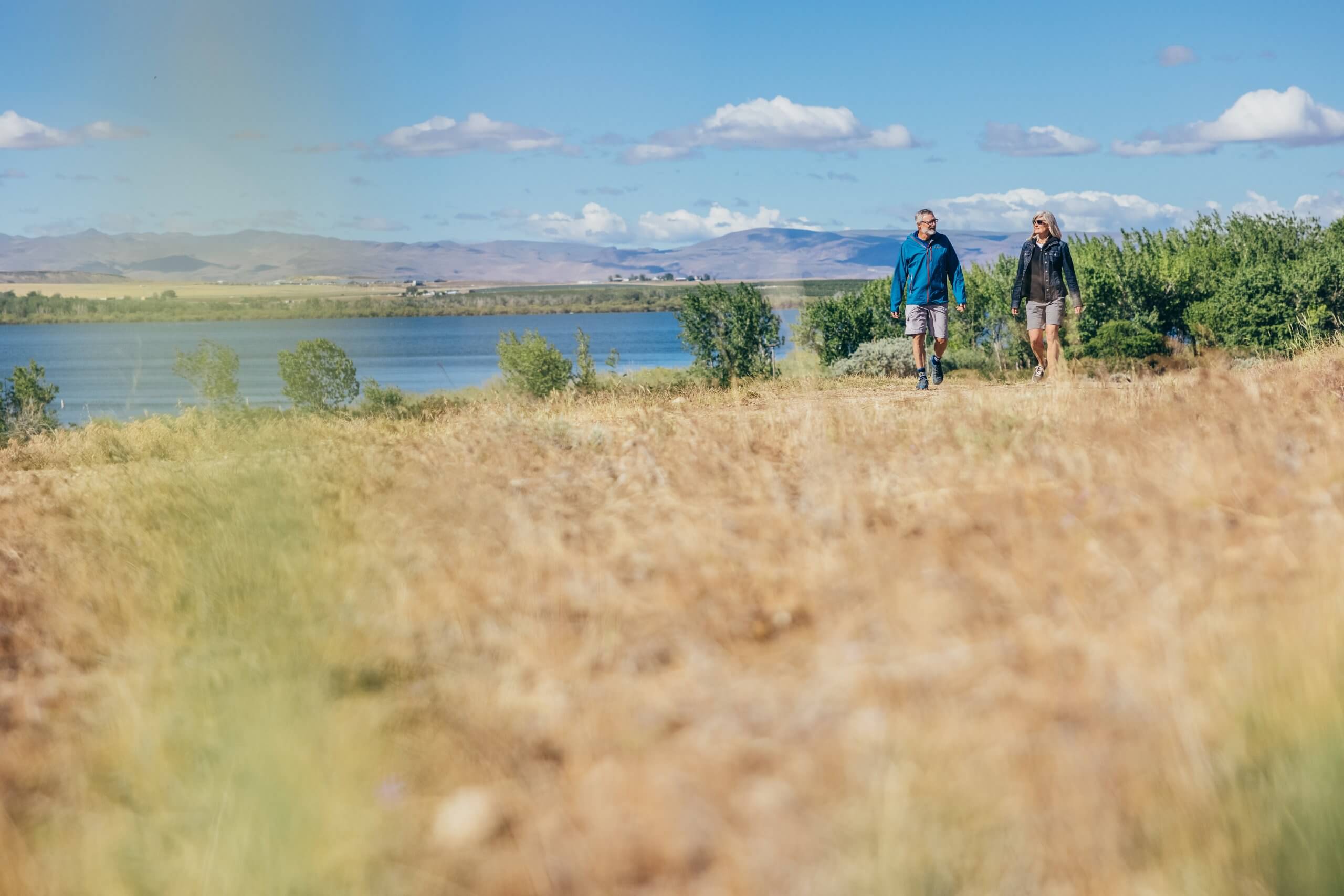
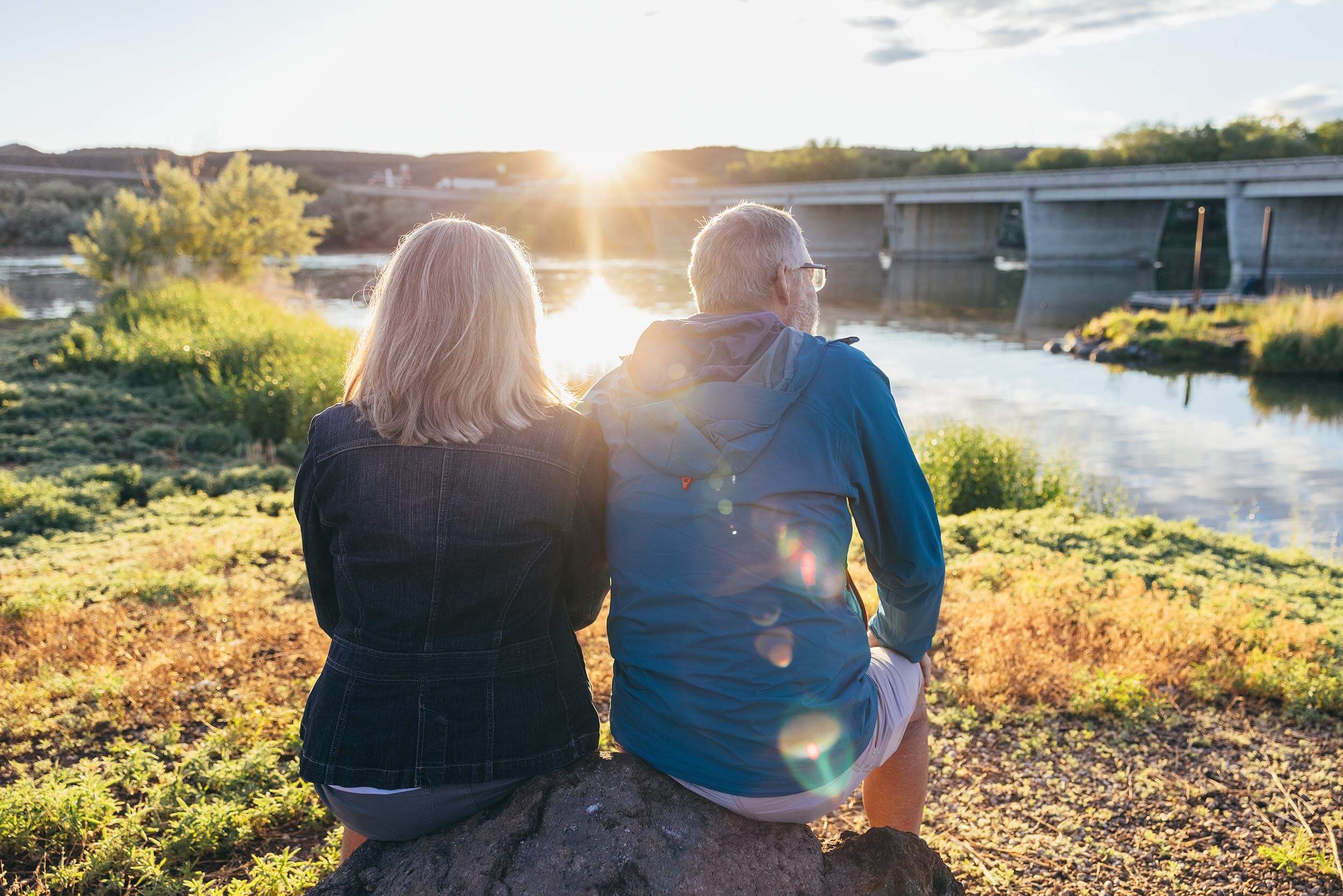
Whether you’re looking to unwind or do a bit of bird or wildlife watching, there are plenty of stops along the Snake River Canyon Scenic Byway that will make your Idaho road trip truly unforgettable.


Start planning your epic Idaho road trip with the help of these free travel publications.
Need some ideas for your next Idaho road trip? Check out these travel tips and start planning your adventure.